Weather Blog: Christmas and winters past in the CSRA
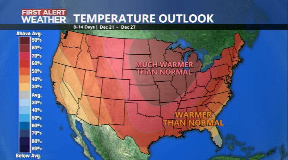
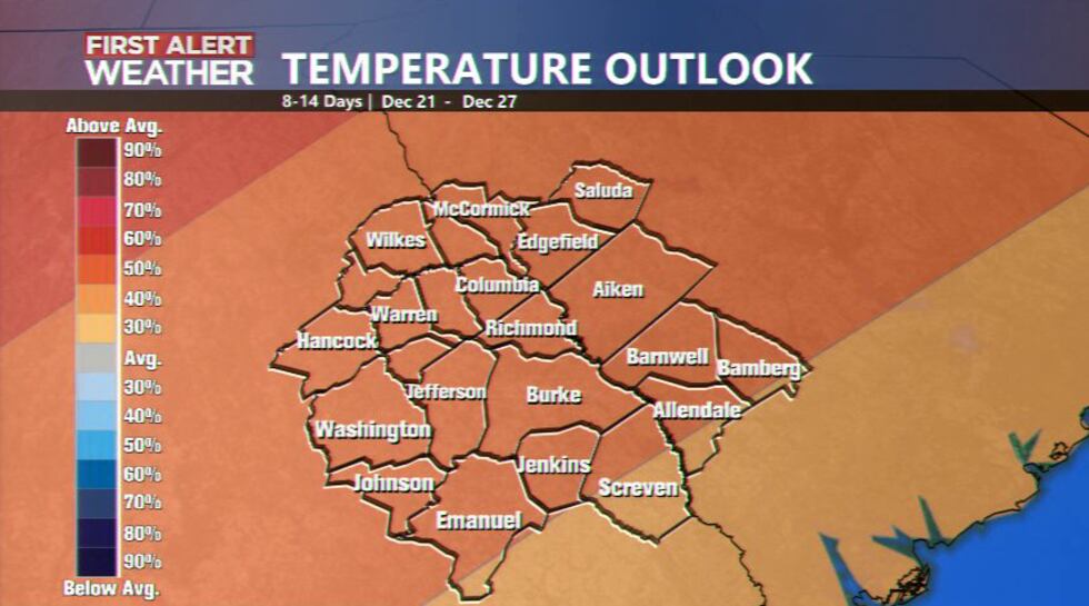
AUGUSTA, Ga. (WRDW/WAGT) - The latest climatology report predicts a warming trend over the next two weeks. This means above-average temperatures for the week of Christmas. How common is it for the CSRA to be above average for Christmas? Let us take a look.
This season we are in an “El Nino” pattern, which usually brings wetter and cooler conditions to the Southeast during the winter months. This is due to an enhanced southern jet stream that brings a wetter pattern to the southern United States.
The average high temperature on Christmas is 56°, and the average low temperature is 35°. The warmest Christmas on record was back in 2015 when we reached 81° that afternoon. The coldest temperature recorded on Christmas in the CSRA was back in 1983 when we dropped down to 6° overnight.
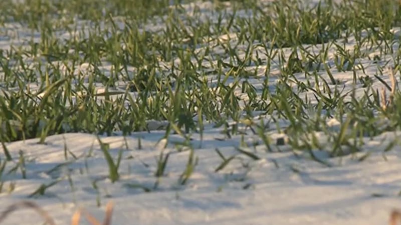
In of precipitation in the form of snowfall, Augusta has only seen a trace of snowfall on Christmas day twice in the past 80 years. One occurred back in 2004 and the other in 2020.
According to the National Weather Service, there is a 60-70% chance we will see temperatures above 50° on Christmas day, but with the new Climatological outlook our chances of having temperatures above the normal 56° is roughly 50% - 60%.
PAST WINTERS SNOWFALL
While we are not expecting a white Christmas this year we still have the rest of the winter to get through. The snowiest winter on record for Bush Field Airport was back in February of 1973 when we recorded 14 inches of snowfall.
In more recent years we have seen traces or light dusting but the most recent snow event in the CSRA occurred back in 2014 when we saw 2 inches of snow in January and 1.2 inches in February. Back in 2010, Bush Field recorded 8 inches of snowfall in January.
Copyright 2023 WRDW/WAGT. All rights reserved.


